


Plot Your Next Course Using a Marine GPS
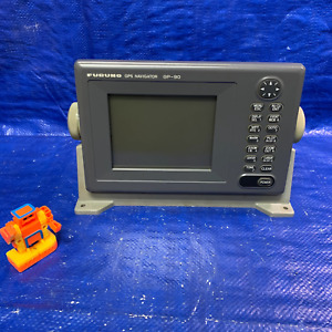
A marine GPS is a specific type of global positioning system that is intended to excel as a nautical GPS for boats and other watercraft. Most marine GPS units have special features that you can use to chart a course or pinpoint your location when you are on the water. You can explore the range of options eBay offers in the boat GPS category.
What are some benefits of marine GPS units?Marine GPS units are designed to be compatible with dashboard mounting systems on boats. These units come with the following few features that make them great choices for naval navigation:
- Pinpoint accuracy - Determining your location at sea can be more difficult than if you were on land. Marine GPS units employ sophisticated hardware and software to triangulate the position of your boat.
- Reception - Because a marine GPS is a type of outdoor unit, most models in this category have reception fields that carry far across the ocean waves.
- Weather updates - It is vital for sailors to know about any impending changes in weather patterns, and many of these units can alert you to those changes.
You may wish to use a marine GPS chart plotter to map out a specific course on a coastal map. Your marine GPS device can download coastal maps for your perusal. Most models can provide you with a location and precise directions, but you can use them for other things. Some of these global positioning systems can use sonar technology to show you a rendering of the ocean floor. They can produce a facsimile of life under the waves and let you know what's down there.
What features can you add to your marine GPS device?You'll find hundreds of inexpensive marine GPS options on eBay. If there are some specific features you would like to have on your device, you can use the site's categories to choose the ones you want. eBay can help you narrow your search and find the products that work for you. Some common features you can get with your marine GPS are described here:
- Altimeters and barometers - Some devices can provide you with readings on your location's altitude or the atmospheric pressure of the area.
- Logging - You can set your marine GPS to log your naval data, including the distance you've traveled, your routes, and your speeds.
- Touchscreen - Some systems use a touchscreen that allows you to interface with the GPS using your fingertips.